Image Maps
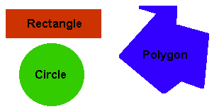
InfoCourier supports server side Image Maps,
using a map file in either the NCSA or CERN format. It supports rectangular, circular
or polygonal shapes.
The graphic below is a simple image map - try clicking on various elements and
see what happens.